🦺 I-80 Construction Alert 🦺
Wasatch Back Travel Resources
Navigating Winter
Driving in Parleys Canyon (I-80) or the Park City area? Scroll down for an interactive map, public transit info, parking, and other resources.
Mileposts & Destinations
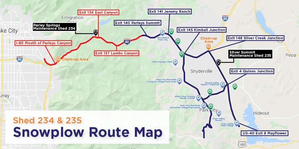
The interactive map below highlights the locations of the points and landmarks that are often referred to in road status updates and alerts, as well as popular winter recreation destinations in the area.
Transportation
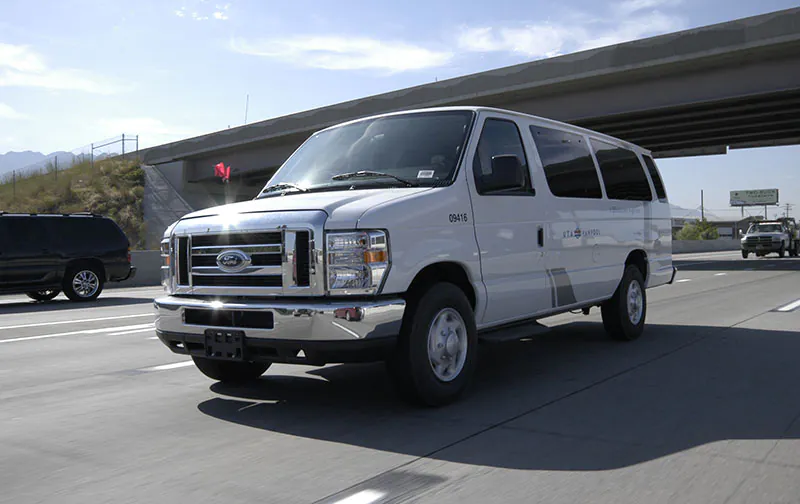
Public transportation in the Wasatch Back is free. All visitors, especially those who do not have a vehicle that is equipped with proper traction devices or are uncomfortable driving in severe winter weather conditions, are encouraged to utilize public transit and shuttle services, delay travel, or carpool in a properly equipped vehicle.

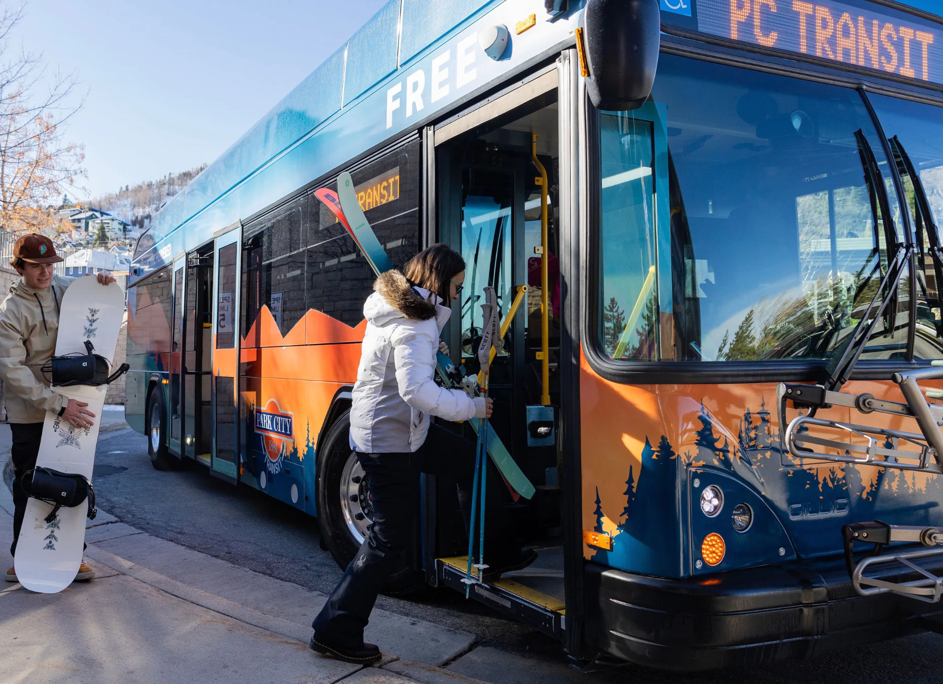
Park City Transit
Park City Transit operates 13 routes within city limits. Major transfer points are at Old Town Transit Center and Park City Mountain Village Transit Hub, with scheduled stops throughout the city and at Richardson Flat Park and Ride. There is no fare to ride.
Weekend shuttle service to Montage/Empire Canyon, Bonanza Flat, and Bloods Lake trailheads will begin in summer.
To locate a bus, use the vehicle locator tool, or download the app on the App Store or Google Play.

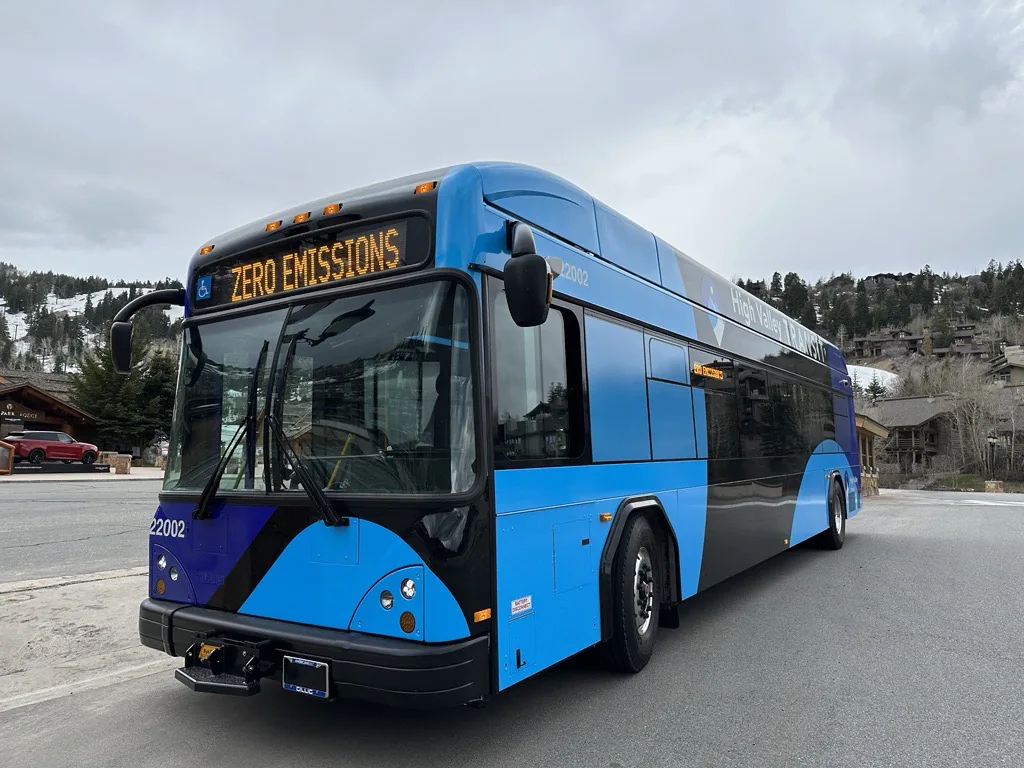
High Valley Transit
High Valley Transit serves the Wasatch Back, with bus routes including Salt Lake City, Jeremy Ranch, Kimball Junction, Silver Creek, Canyons Village, Park City, Deer Valley, Heber City, Kamas and Francis. There are also on-demand and paratransit services. There is no fare to ride.
To locate a bus, use the vehicle locator tool, or download the app on the App Store or Google Play.
Carpooling
Carpooling or ridesharing is a great way to reduce traffic congestion and help clear the air in the canyons.
To find others that are headed up to Park City, check out these resources:
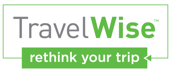
#TravelWise in the Wasatch Back
TravelWise is a set of actions that encourage Utahns and visitors to reduce energy consumption, optimize mobility and improve air quality — ultimately improving quality of life. So what are the actions that apply to the Wasatch Back to relieve the "red snake" and prevent unnecessary car emissions?
Parking in Park City
City parking rates and restrictions vary by season and location. Refer to the map below and obey all parking signs. More information is available on Park City's website.
If you're parking during the Sundance Film Festival or other major events, expect additional restrictions and increased fees. Ski resorts manage parking in their lots; details on resort parking are on our Recreation page.
Winter Weather Maintenance and Snowplow Information
UDOT strives to provide the public with safe and clear roads. There are a variety of factors that may impact the condition of a road, including:
- Rate of snowfall
- Type of snowfall
- Anti-icing strategies
- Weather forecasts
- Winter storm maintenance standards
Actual plow routes and equipment assignments are determined by UDOT's District Engineers using the winter storm maintenance standards. Maintenance stations will provide normal services as soon as available resources permit during unusual or extreme winter conditions.