Wasatch Back Road Information
Plan ahead
Check out the traffic dashboard, the UDOT Traffic Cameras, digital signs and road weather forecasts to learn about road conditions. Need transportation to get to your ski lodge? Get more info about car rentals or free public transit.
Each resort in the Park City area has their own policies and parking systems, but there are digital signs to notify visitors of their parking lots status (limited, full, etc.). Please read these signs and turn around or reroute to a park and ride if your destination’s parking lot is full.
Road Status Updates
Scroll down for our latest stories and posts. If the space below is blank, there are no new road status updates.
*For the best viewing experience, follow our stories on Instagram.
Road Closures Frequently Asked Questions
Full closures of Parleys Canyon (I-80) and other major roads in the Wasatch Back are rare and only occur due to emergency incidents such as crashes or fires. UDOT’s Incident Management Team works to avoid multi-lane closures except when absolutely necessary and will reopen lanes as soon as possible.
There are no avalanche slides in Parleys, so planned road closures for avalanche mitigation are not needed.
Yes, UDOT manages four seasonal roads in the area: SR-65 East Canyon (northeast of Salt Lake City), SR-224 Guardsman Pass (Park City to Brighton), SR-150 Mirror Lake Highway (east of Kamas to near the Wyoming border) and SR-35 Wolf Creek Summit (east of Francis to west of Hanna).
The opening and closure of these roads are dependent on snow and road maintenance resources, but they’re typically closed from November through May or June.
Traffic Information
Traffic Cameras
I-80 EB Parleys @ Mouth
I-80 WB Parleys @ East Quarry
I-80 WB Parleys @ Mt. Aire

I-80 EB Parleys @ East Canyon
I-80 WB Parleys @ Lambs Canyon

I-80 Parleys Summit
I-80 EB Parleys @ Summit Park
I-80 WB Parleys @ Jeremy Ranch

I-80 EB @ Powderwood Road
I-80 WB @ Kimball Junction
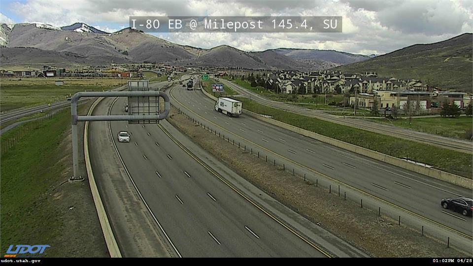
I-80 EB West of US-40
I-80 WB @ Silver Creek Jct/US-40
US-40 @ Silver Summit

US-40 @ Quinns Junction

US-40 @ Mayflower Summit
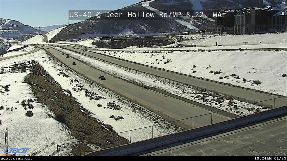
US-40 @ Deer Hollow Rd

SR-224 @ Kimball Junction
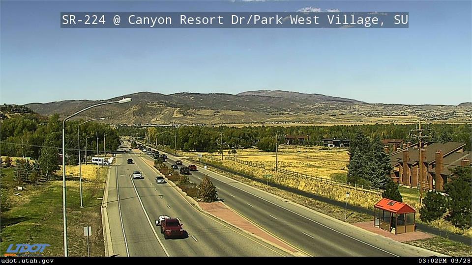
SR-224 @ Canyons

SR-224 and SR-248

Deer Valley Dr/SR-224 @ Swede Alley
Marsac Ave/SR-224 @ Ontario Mine
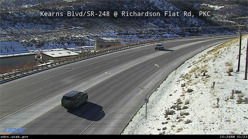
SR-248 Kearns @ Richardson Flat
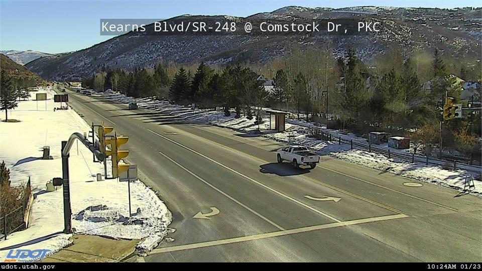
SR-248 Kearns @ Comstock Dr

SR-248 Kearns @ Bonanza Dr

SR-248 and SR-224
UDOT Road Signs
TIME TO PARK CITY 13min I-84 34min
I-80 EB @ Mouth of Parleys
NO_MESSAGE
Kearns Blvd SR-248 WB
@ Treasure Mountain Junior High
NO_MESSAGE
Park Ave SR-224 SB before Kearns Blvd
TO PARK CITY SR248 VIA KIMBALL JCT 11min
TO PARK CITY SR248 VIA US-40 12min
I-80 EB @ Jeremy Ranch
NO_MESSAGE
Kearns Blvd SR-248 EB
@ Park City High School
NO_MESSAGE
Deer Valley Drive SR-224 NB
before Bonanza Drive
NO_MESSAGE